


Dry weather persists in Houston as we continue to track some weekend rain chances
Our next tropical system forms this week in the Atlantic Ocean

If it STILL feels more like summer outside, you’re not imagining things.
Wednesday Forecast
Houston will see morning lows in the 60s, but afternoon highs are forecast to hit the upper 80s and low 90s through next week—well above what’s typical for mid-October.
Ozone Action Day
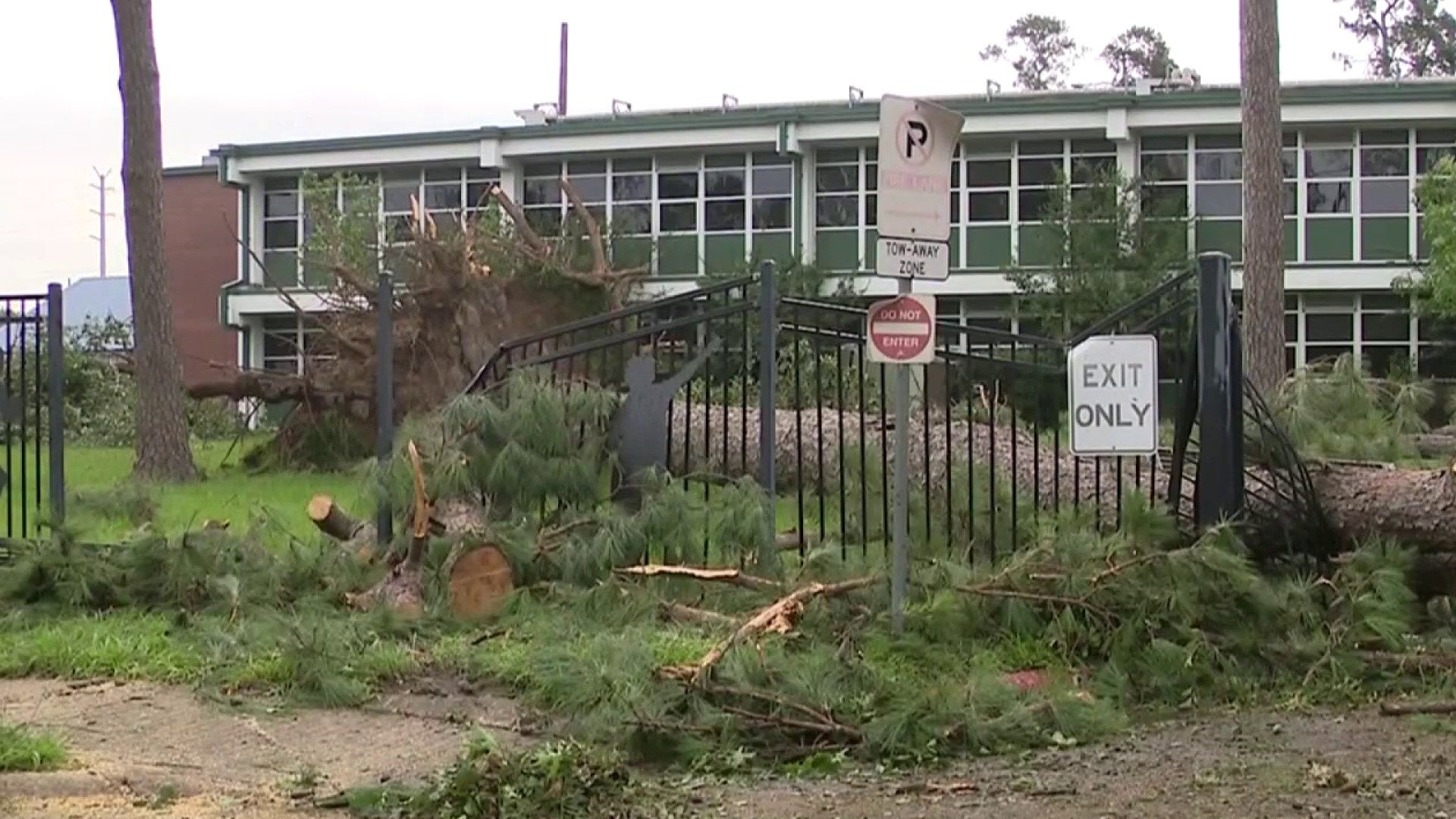
We’re tracking yet another air quality alert, with high ragweed pollen levels stirring up allergies. Adding to the mix, elevated fire risks persist due to ongoing drought conditions, with burn bans in effect across multiple counties. An air quality alert has been issued on Tuesday for Houston, Galveston, and Brazoria, with elevated fire danger continuing through the evening. Skip the bonfires, especially in our northern areas where fire risk remains higher compared to other parts of Houston.
Rain? Not much in sight—our next shot at showers isn’t until Friday into the weekend. So, embrace the fall vibes (even if it still feels like summer) but hold off on those bonfires.
Elevated Fire Risk
We continue to monitor and track fire dangers in Montgomery, Liberty, and Chambers Counties. Harris County will vote on Thursday regarding a potential burn ban.
Dry, warm weather is expected to persist through most of this week with another period of elevated fire risk anticipated. Even when we start to see a little more humidity by the end of the week, we’re running well below normal for rainfall so far this fall.
- Avoid spark-causing activities, as fires can flare up fast.
- Never leave a fire burning unattended or without purpose.
- Secure tow chains to prevent dragging and sparking.
- Don’t drive or park over tall grass.
- Avoid tossing lit cigarettes onto the ground.
Tracking the tropics:
Tropical Storm Lorenzo is churning out at sea with sustained winds of 60 mph, but it’s expected to steer clear of land.
Your extended forecast:
Overall, we’re still looking to enjoy a nice stretch of comfortable mornings through the middle of the week. Afternoons will still stay warm and we’ll see more humidity by the end of the week as a front will brings showers and thunderstorms Friday and Saturday. And it looks like our next fall morning looks to be at the end of the 10 day forecast
If you notice interesting weather in your neighborhood, share your photos and videos with KPRC 2 at Click2Pins!


