


More late summer heat for Houston Sunday, showers are lurking for next week
Dry air and cool mornings continue in Houston.

Once again, temperatures spiked to near 90 for most areas on Saturday, we’ll see the same story heading into Sunday. 
There’s a slight chance to pick up a few showers and an occasional thunderstorm or two from a disorganized area of low pressure drifting westward off the coast of Louisiana. 
Track Today’s Forecast Here:
RELATED: When will the first “real” cold front arrive in Houston?
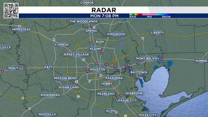
You can track radar here with just a click of a button:
Pollen problems:
We’re also watching an increase in fall allergies, so if you suffer from ragweed pollen, for example, the next few days could still be challenging, despite the beautiful weather outside. 
Weekend changes:
As we round into the back half of the weekend forecast, we’ll start to see a little more humidity and a small chance for rain moves back in. 
Nothing too serious, however, a weak Gulf disturbance does look to bring in some more widespread rain chances on Sunday and Monday mainly east of SE Texas. 
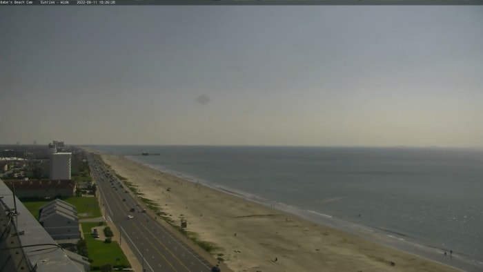
If you are headed to gulf facing beaches this weekend keep in mind there is a rip current risk because of the persistent and strong easterly wind. 
Tropical outlook:
We’re watching a tropical wave near the coast of Africa which is producing a broad area of disorganized thunderstorms. A tropical depression could form near Lesser Antilles by next week. The next name on the 2025 list is JERRY. 
Make sure your family is prepared for whatever comes our way this hurricane season. You can check out our 2025 Hurricane and Flood Survival Guide here.
Your extended forecast:
We’re still waiting on some actual fall weather, but nothing but upper 80s to low 90s are on board for the next 7-10 days. 
If you notice interesting weather in your neighborhood, share your photos and videos with KPRC 2 at Click2Pins!