


Cool front brings much-needed relief to SE Texas. How long will it last?
Our next tropical system forms this week in the Atlantic Ocean

Stepping outside Thursday, you’ll feel a slight change in the air; that’s the cool front we’ve been teasing about the last few days (and some much-needed relief for our area)
For those who love cooler mornings, the next few days bring a welcome break. Overnight and early morning lows in Houston are forecast to dip into the mid-60s from Friday through Monday, thanks to the combination of dry air and clear skies.
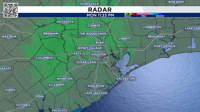
You can track radar here:
The dry conditions and the winds ahead of the front put us at risk for fire danger today, but it’s slightly higher on Thursday.
So use extreme caution if working with equipment that could spark a fire, don’t throw cigarettes out your window or park by dry grass and skip the bonfires this week.
Once the front pushes through our area, we’ll start to notice our morning lows drop, and Saturday is the winner with morning lows.
You’ll be waking up in the 60s with highs in the mid-80s, so enjoy it while it lasts because by next week, our lows will pop back up in the 70s with highs above average in the 90s.
Tracking the tropics:
Tropical Storm Jerry is expected to bring thunderstorms and the chance for flash flooding to portions of the Leeward Islands tomorrow into Friday. 

We’re also watching an area of low pressure moving toward the Bay of Campeche, which could bring heavy rain and gusty winds across southern Mexico in the coming days.
Your extended forecast:
It’s been a fall sizzler with really warm temps, but changes are on the way! Thanks to the weak front we’re tracking - it will feel like fall this weekend. 
If you notice interesting weather in your neighborhood, share your photos and videos with KPRC 2 at Click2Pins!