


Summertime heat continues to push Houston weather records, with possible rain chances
Our next tropical system forms this week in the Atlantic Ocean

Tuesday’s forecast will be much like Monday’s forecast: hot, near record-breaking humidity with a chance for more rain in the afternoon into the evening.
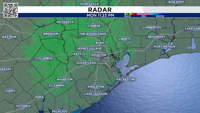
You can track radar here:
Tuesday Forecast:
Temperatures climb to near-record levels over the next several days, with highs landing between 92 and 94 degrees through midweek.
Record highs for these dates have stood at 94, 95, and 96 degrees since 1928, 1956, and 1962. While it’s not expected that Houston will break any records, it’s shaping up to be remarkably warm, even for early fall.
The good news is that a cool front is headed our way midweek and will drop our morning lows into the 60s. 
Tracking the tropics:
Tropical storm Jerry could form at any time, and I think it will be our next hurricane.
Longrange forecasts show it will not hit the United States, but the Windward Islands and Puerto Rico residents should keep an eye on updates. This northward turn is consistent with the pattern seen for most Atlantic storms this hurricane season, similar to Hurricane Erin and Gabrielle.

We’re also watching an area of low-pressure near the northwestern Caribbean Sea that’s producing disorganized storms and is expected to move across the Yucatan Peninsula tonight. We’ll watch for heavy rounds of rain and gusty winds across the Yucatan, Belize and Southern Mexico the next few days.
Your extended forecast:
We’re still waiting on some actual fall weather, but nothing but lower 90s are on board for the next 10 days. 
If you notice interesting weather in your neighborhood, share your photos and videos with KPRC 2 at Click2Pins!